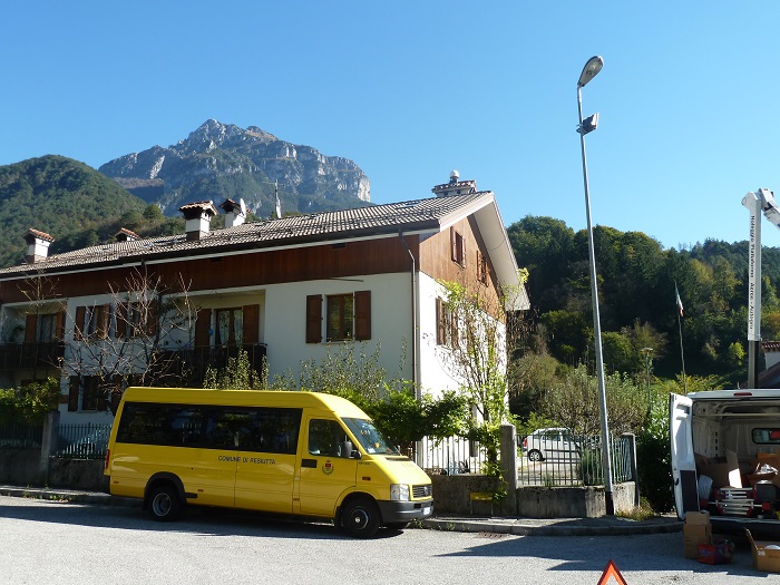
Permanent station of Moggio Udinese
[Mogg]

| City | Moggio Udinese (UD) |
| Address |
stazione forestale building
Nais squade - 33015 |


Real-time data are temporarily unavailable

Coordinates
| Latitude | 46°24'24,2419'' |
| Longitude | 13°11'53,7162'' |
| North | 5140817.306 |
| East | 361513.545 |
| Fuso | 33 |
| Latitude | 46°24'24.2415'' |
| Longitude | 13°11'53.7152'' |
| North | 5140817.296 |
| East | 361513.524 |
| Zone | 33 |
| Latitude | 46°24'21.8466'' |
| Longitude | 0°44'45.8990'' |
| North | 5140840.996 |
| East | 2381517.823 |
| Zone | EST |
| Ellipsoidal elevation (m) | 377.953 |
| Orthometric elevation (m) | 329.931 |
Satellites
|
|
|
|
|
|
Instrumentation
| ARP | BPA |
| ARP Up Ecc | 0.0000 m |
| ARP North Ecc | 0.0000 m |
| ARP East Ecc | 0.0000 m |
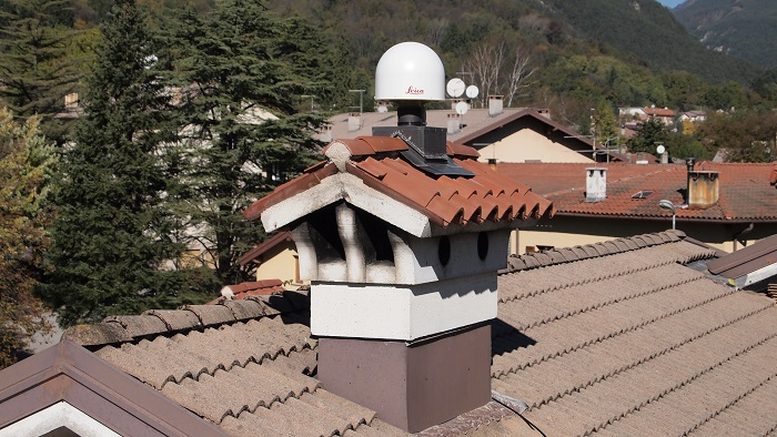
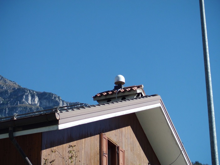
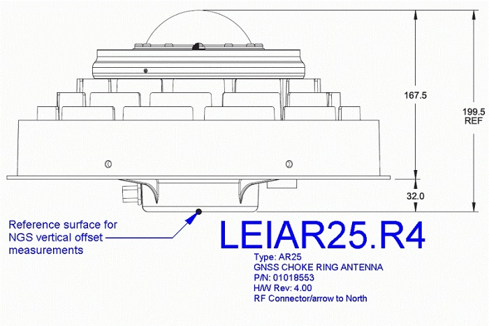
ANTENNA: Leica AR25 with Spherical Dome (LEIAR25.R4)
Serial Number:
725479
Antenna Reference Point:
BPA
Antenna Radome Type:
LEIT
Antenna Cable Length:
8
Date installed:
19/05/1999
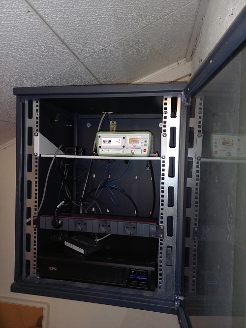
RECEIVER: Leica GR50
Serial Number:
2091642
Satellite System:
GPS+GLO+GAL+BDS
Firmware Version:
4.70/7.813
Elevation Cutoff Setting:
5
Date installed:
25/01/2024